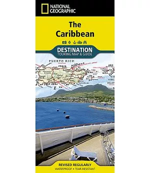
National Geographic’s Caribbean DestinationMap strikes the perfect balance between map and guidebook and is ideal for a wide range of travelers. The map includes a detailed road network and
important travel information including National Parks and protected areas, airports, cruise ports, beaches, historic sites and ruins, and sites for recreation activities including diving,
surfing, sailing, and golfing.
The front side of the Caribbean DestinationMap details the eastern Caribbean and includes beautiful photographs and helpful information on each of the island destinations. The Dominican
Republic, Haiti, Puerto Rico, Trinidad and Tobago, Virgin Islands, and the islands of the Lesser Antilles are represented. Also included is important cruising information, inset maps of
Charlotte Amalie, U.S. Virgin Islands and Old San Juan, Puerto Rico, and the locations of National Parks. The map also covers the pristine coast of Venezuela.
The reverse side of the print map details the western Caribbean, including the Bahamas, Cayman Islands, Cuba, south Florida, Jamaica, and the northern tip of Mexico’s Yucatan peninsula. The map
features beautiful photographs and information on each location, travel tips, weather information, National Park locations, and a locator map of major embarkation points for Caribbean cruises
from the mainland United States. Inset maps for Nassau, Bahamas; George Town, Cayman Islands; Old Havana, Cuba are included.
-
Map Scale = 1:2,000,000
-
Sheet Size = 37.75" x 25.5"
-
Folded Size = 4.25" x 9.25"